By SpaceTime · Editorial team
Why Niantic's Coco Robotics Deal Matters Beyond Pokemon GO
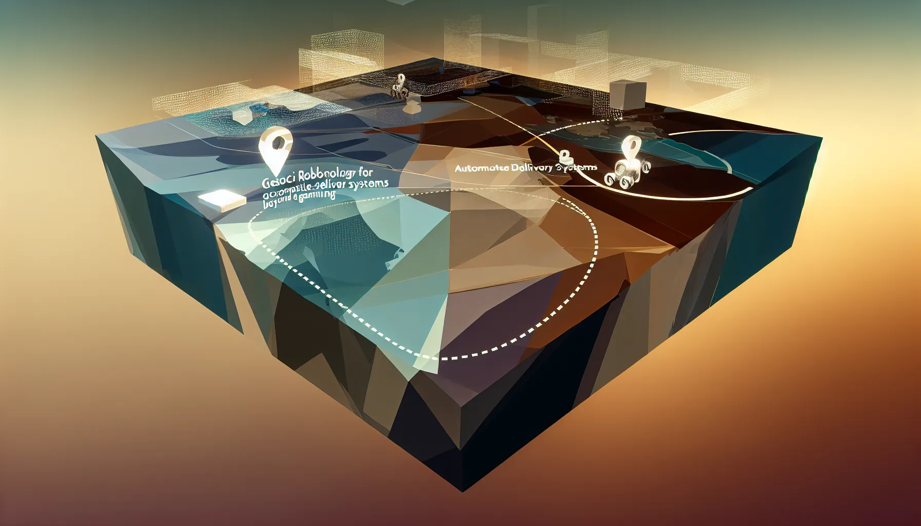
Niantic Spatial's March 10, 2026 Coco Robotics deal shows how a game-born AR map is turning into infrastructure for machines that need precise real-world navigation.
When Niantic Spatial announced on March 10, 2026 that it would work with Coco Robotics on autonomous delivery, the easiest headline was also the most distorted one: Pokemon GO had secretly spent a decade training delivery robots. The real story is more useful than that. Niantic built a pedestrian-scale spatial map for augmented reality, and it is now trying to sell that map as infrastructure for machines that need to know exactly where they are in the physical world.
What changed
The immediate news is simple. On March 10, 2026, Niantic Spatial said it had partnered with Coco Robotics to work on urban delivery. Niantic said the companies would focus on problems that matter in real deployments: accurate geolocation where GPS fails, higher location precision, and safer navigation to pickup zones.
That announcement matters more because of what happened a year earlier. On March 20, 2025, Niantic said it was spinning off its technology platform into Niantic Spatial, a separate company focused on geospatial AI. That changed the meaning of Niantic’s old AR stack. It was no longer just technology in support of games. It was a product looking for customers.
The Coco partnership is one of the clearest signs yet of what that new company wants to sell.
What Niantic actually built
Niantic’s numbers are large, but they need to be read carefully.
On its current about page, Niantic Spatial says it is developing a Large Geospatial Model built on a proprietary database of more than 30 billion posed images. In a November 12, 2024 post, Niantic Labs said it had 10 million scanned locations worldwide, with more than 1 million of those activated for its Visual Positioning System, or VPS. It also said it was receiving about 1 million fresh scans each week, each containing hundreds of discrete images.
Brian McClendon, Niantic’s CTO and one of the co-creators of Google Earth, added another useful number in his TED AI Show interview in late 2024: Niantic had roughly 20 million Wayspots. That is not the same thing as 20 million scanned locations. It is closer to a global index of places that matter to Niantic’s system.
That distinction matters because a lot of public discussion has blurred these categories together. A database of 30 billion posed images is not the same thing as 30 billion player-submitted scans. Likewise, 20 million Wayspots is not the same thing as 20 million fully reconstructed places.
Niantic’s own materials also make clear that this is not passive gameplay exhaust. In its November 2024 Large Geospatial Model post, the company said player-contributed scans of public real-world locations are optional and that merely walking around and playing its games does not train the model. Niantic also says it runs its own map data collection in publicly accessible pedestrianized areas using survey teams and custom hardware. The cleaner way to describe the system is this: Niantic has built a layered geospatial dataset from public points of interest, optional scans, and its own collection efforts, then wrapped that into a spatial AI platform.
Why robots care
The robotics problem is not hard to explain. GPS is often good enough to get a person near a destination, but it is much less reliable for telling a machine exactly where it is standing relative to a building entrance, curb, pickup area, or obstruction. Dense cities make that worse. Tall buildings distort signals. Sidewalks are cluttered. Pickup points move. Construction changes the environment.
This is where Niantic’s system starts to look more valuable than a standard consumer map.
Niantic says its VPS can localize from a single image with centimeter-level accuracy. Just as important, the company says its maps are built from images captured from many perspectives, at different times of day, over long periods of time. In its own words, the data is unusual because it comes from a pedestrian perspective and includes places inaccessible to cars.
That is the commercial point. A delivery robot does not need a beautiful overhead map of a district. It needs to know where it is at human scale. It needs to understand the storefront, the curb cut, the plaza entrance, and the pickup zone. A map built from street-level scans of public places is much closer to that task than a map designed mainly for turn-by-turn driving.
Niantic’s longer-term pitch is that its Large Geospatial Model can generalize across places instead of treating each location as an isolated local map. That is partly a research story, but the business implication is clear enough. If the model can infer more about partially seen spaces, it becomes more useful in the real world where robots rarely get perfect visibility.
Why freshness matters more than sheer size
A lot of old mapping businesses were built on the assumption that being comprehensive was enough. That looks weaker now.
For robots and other AI systems operating in physical environments, stale data is often worse than incomplete data. A wrong curb, blocked entrance, moved loading zone, or construction barrier can break the task. That is why the most interesting number in Niantic’s 2024 post may not be 30 billion images or even 10 million scanned locations. It may be the claim that the company receives about 1 million fresh scans every week.
That is the bigger shift behind the Niantic story. The value is not only in owning a giant archive. It is in keeping a map current enough to support machines that need precise location, not just rough orientation.
Bottom line
The March 10, 2026 Coco Robotics deal did not show that Pokemon GO had secretly become a delivery company. It showed that a game-born AR map had matured into commercial infrastructure for machines.
That is the important shift. Niantic Spatial is trying to sell a map built from ground level, refreshed continuously, and designed to answer a harder question than where something is on a road. It is trying to answer where something is in space.
If robots, glasses, and AI systems need better physical awareness to become useful at scale, that is a much more valuable business than a one-time AR gimmick. The backlash caught the mood of the moment. The Coco deal revealed the business underneath it.
Sources and references
- Niantic Spatial: Niantic Spatial Partners with Coco Robotics to Accelerate the Future of Autonomous Delivery
- Niantic Labs: Evolving Niantic Spatial Inc.
- Niantic Spatial: About
- Niantic Labs: Building a Large Geospatial Model to Achieve Spatial Intelligence
- TED: How Pokemon Go and augmented reality are transforming how we’ll navigate the world w/ Niantic’s Brian McClendon (Transcript)
- Niantic Spatial Help Center: Niantic Map Data Collection
- Niantic Labs: Lightship VPS: Engineering the World’s Most Dynamic 3D AR Map